Create Maps From Scratch Using Python and OSM Shapefiles
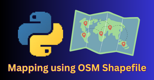
In this article, we will learn to create maps in Python using OSM (OpenStreetMap) shapefiles, GeoPandas library, and Matplotlib. I will be using Google Colab notebook for this task. How […]
In this article, we will learn to create maps in Python using OSM (OpenStreetMap) shapefiles, GeoPandas library, and Matplotlib. I will be using Google Colab notebook for this task. How […]
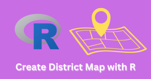
In this tutorial, I will show you how to use R for creating a map of an Indian state with district boundaries. The state is Uttar Pradesh and it has […]
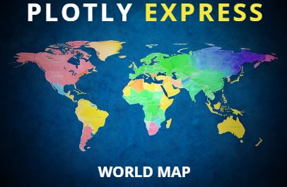
Plotly Express offers an intuitive and robust tool for creating interactive visualizations including geospatial plots.