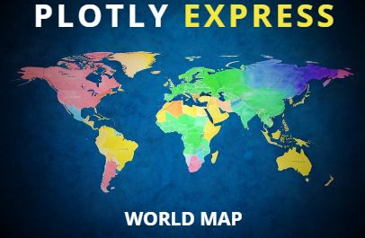
Unlocking the Power of Plotly Express: Designing Interactive World Maps
Plotly Express offers an intuitive and robust tool for creating interactive visualizations including geospatial plots.

Plotly Express offers an intuitive and robust tool for creating interactive visualizations including geospatial plots.

Generate infographic images using Python. Overlay images, text, and data visualizations to create engaging infographics.

Learn to generate YouTube Shorts using Python by stiching together multiple images and overlaying text. The idea is to automatically create short vertical videos with the help of coding.